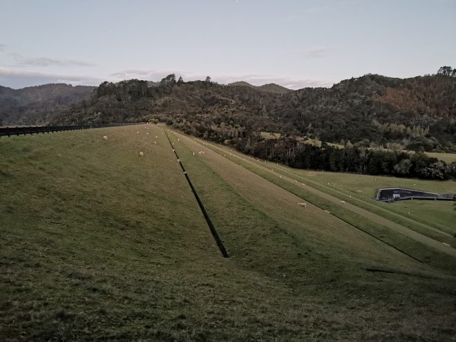
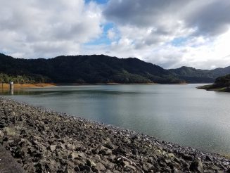
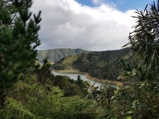
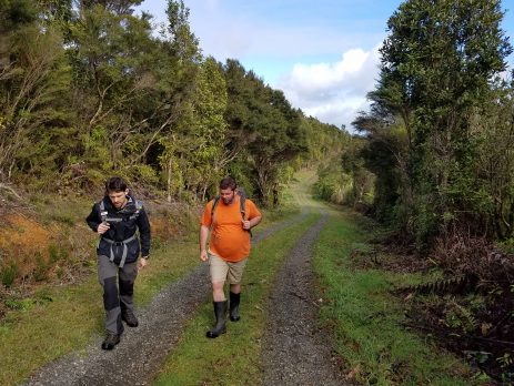
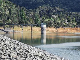
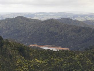
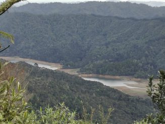
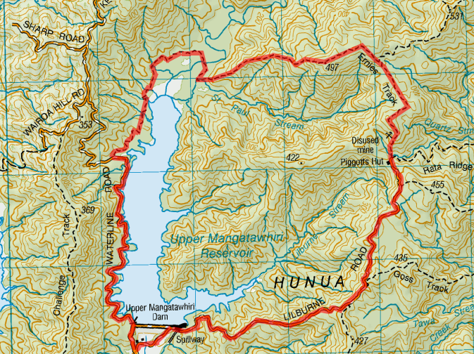
Sunday 26th July 2020 – A semi regular hike that we undertake. Starting from Mangatawhiri Dam Car park, walk Anti-Clockwise up Lilburne Road, Earnies Track and returning alone Waterline Road.
It takes about 6 hours to complete the loop.
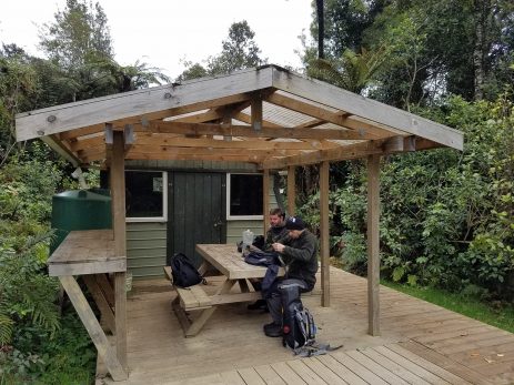
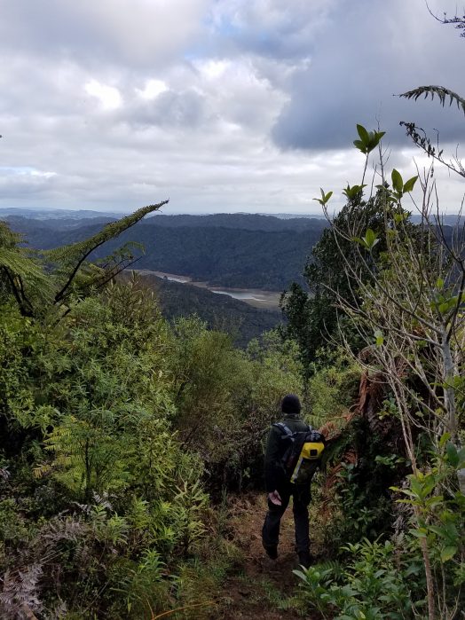
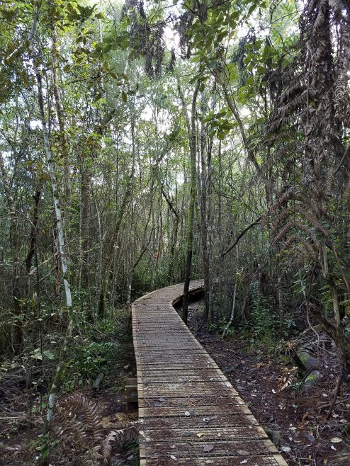
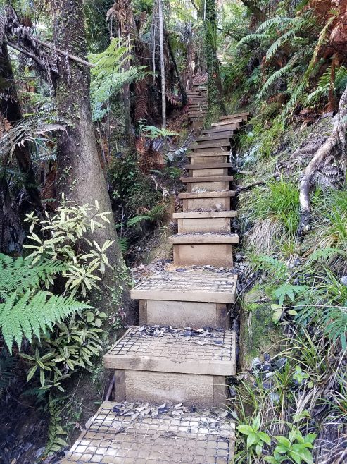
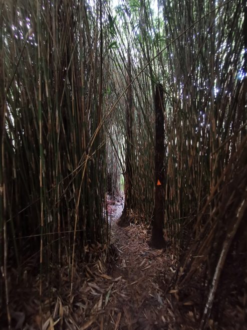
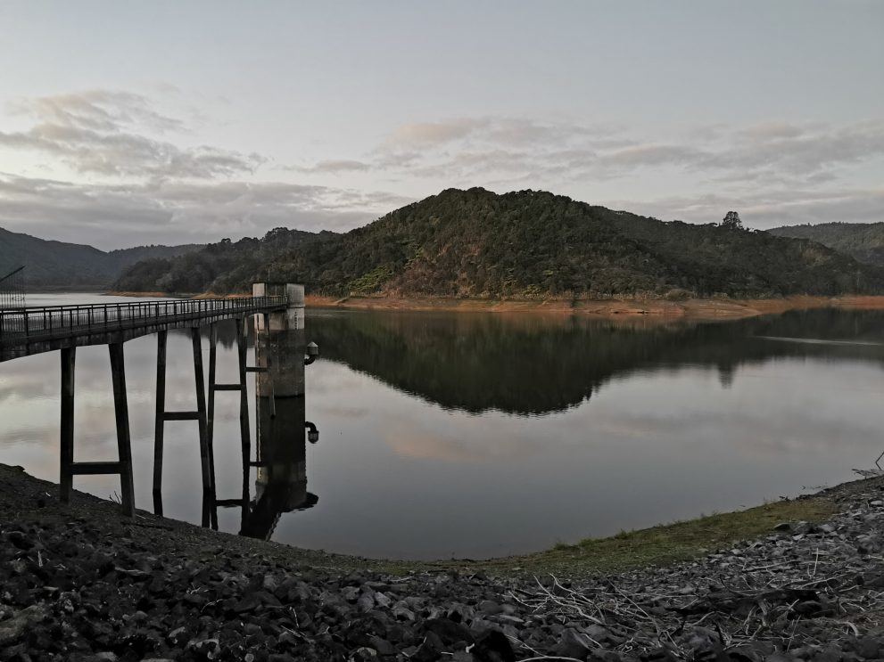
Most streams are bridged or board walked. There’s was one shallow stream at the northern area of the reservoir which will require wading (About shin deep). There maybe some muddy sections at the lower part of the track (around the same area), particularly after significant rainfall. See pictures from a past hike.
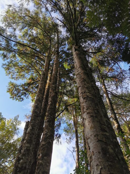
In terms of Bird Life, There has been sightings of Kōkako at the junction of Ernies Track and Mangatawhiri Ridge track.
Topo map Starting and ending where Upper Mangatawhiri Dam is (bottom of the map)…
Hi Fergus, how long did it take you to complete this loop? And were the streams shallow enough to cross with ankle high shoes? Did you see any native birds along the way? Thank you for sharing and for the photos 🙂
Hi Ronald, I have just sent you an Email (along with updated this page with the same information) 🙂