23rd to 24th October – Overnight trip in the Kaimanawas.
Seven of us Climbed Mount Urchin and then proceeded along an un-named track towards Umukarikari Track where we walked along the ridge to Waipakihi Hut for the Night. Next morning we then returned back along Umukarikari Track to Kaimanawa Road End for pick up by our Cambridge based Support crew (whom dropped us off and picked us up as well as providing a sumptuous meal before returning to Auckland)
Weather was kind to us this weekend. While it was windy on the ridges, we hardly had any rain and it was relatively clear (with light cloud cover) throughout.
Some awesome and spectacular views were had. The track has some similarities to the Kepler Track (walked earlier this year), particularly along the ridges.
To view (or save off) a larger sized copy of an individual photo: Click on any photo below to launch the photo carousel, then scroll down (or swipe up if a touch screen device) and there should be a link to “View full size”
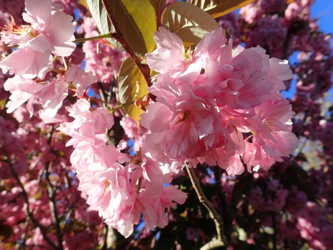
Pink Blossom Tree at Oasis Motel (Tokenaau)
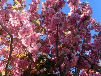
Pink Blossom Tree at Oasis Motel (Tokenaau)
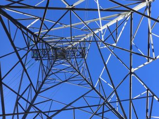
Power Pylon near the start of Mount Urchin Track
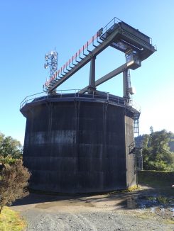
Near the start of Mount Urchin Track

Near the start of Mount Urchin Track
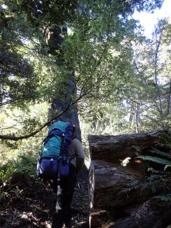
Climbing Mount Urchin Track
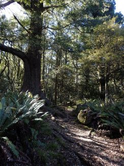
Climbing Mount Urchin Track
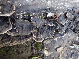
Fungal growth on the steps leading up Mount Urchin Track
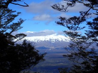
Break in the vegetation, view to Mount Ruapehu
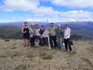
Group Photo at Mount Urchin Trig
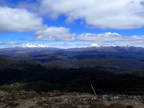
View of both Ruapehu and Tongariro from Mount Urchin Trig
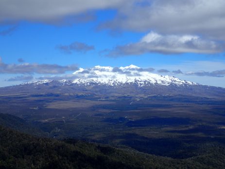
Closer View of Mount Ruapehu from Mount Urchin Trig
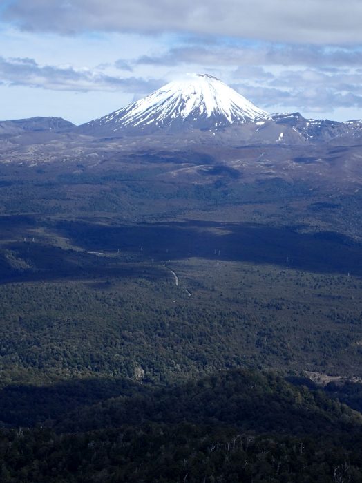
Closer View of Mount Tongariro from Mount Urchin Trig
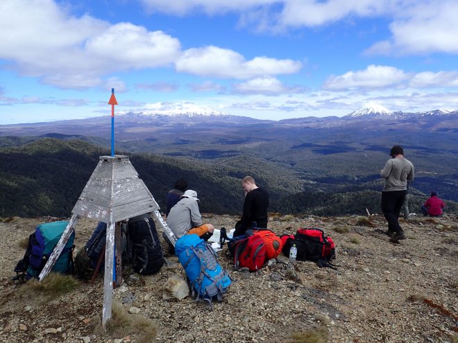
Morning Tea Break at Mount Urchin Trig
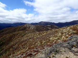
Looking Eastward from Mount Urchin Trig
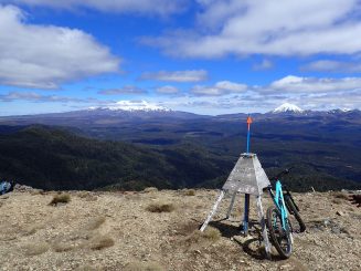
Mount Urchin Trig
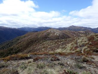
Looking Eastward from Mount Urchin Trig
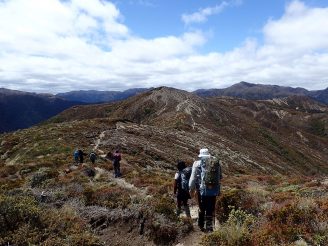
Continuing eastward from Mount Urchin Trig
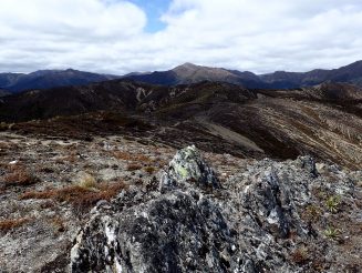
Continuing eastward from Mount Urchin Trig
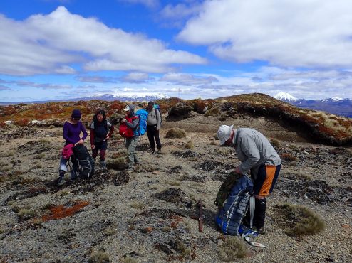
Continuing eastward from Mount Urchin Trig
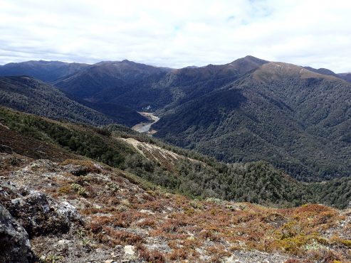
First Glimpse of Waipakihi River
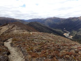
Looking Eastward along Waipakihi River
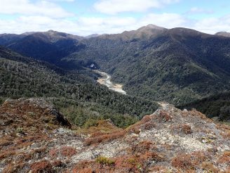
Kaimanawa’s Waipakihi River
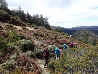
Continuing eastward from Mount Urchin Trig
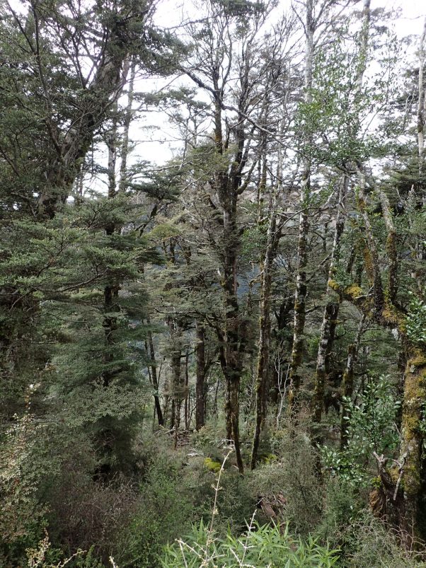
Un-named Track (Heading towards Umukarikari Track)
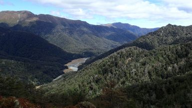
Looking southward towards Waipakihi River
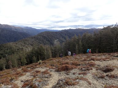
Walking up un-named track towards Junction with Umukarikari Track
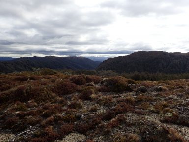
Walking up un-named track towards Junction with Umukarikari Track
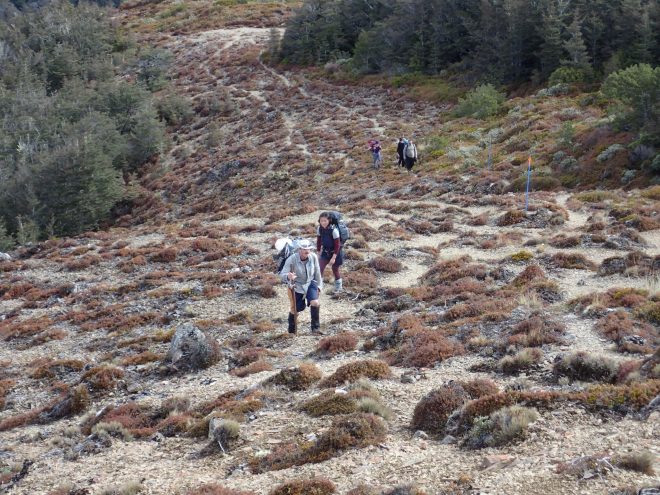
Walking up un-named track towards Junction with Umukarikari Track
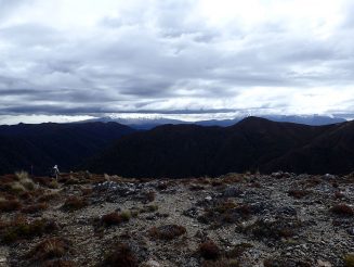
Walking up un-named track towards Junction with Umukarikari Track
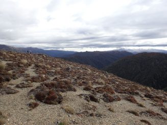
Walking up un-named track towards Junction with Umukarikari Track
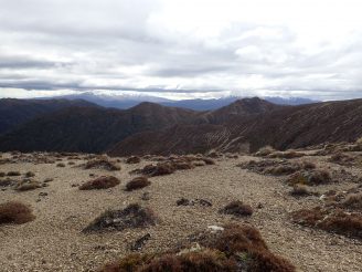
Walking up un-named track towards Junction with Umukarikari Track
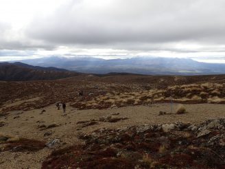
Walking up un-named track towards Junction with Umukarikari Track
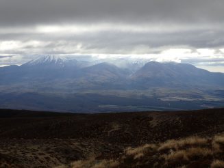
Junction with Umukarikari Track
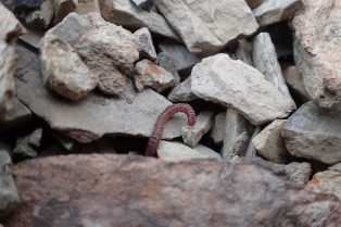
OLYMPUS DIGITAL CAMERA
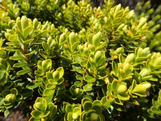
Plant Life
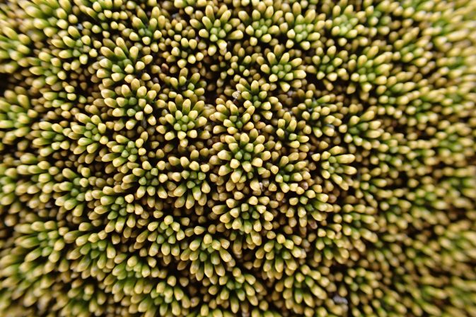
Plant Life
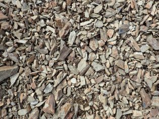
Shale stone typical of Umukarikari Track
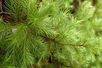
Plant Life
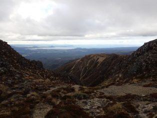
Walking along Umukarikari Track
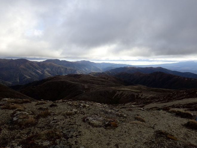
Walking along Umukarikari Track
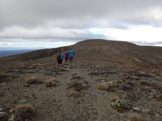
Walking along Umukarikari Track
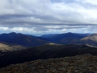
Umukarikari Track
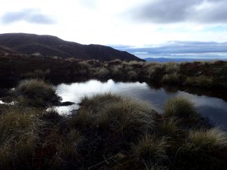
Umukarikari Track
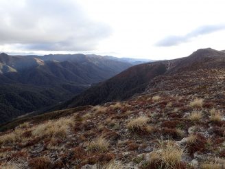
Umukarikari Track
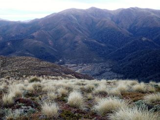
First Glimpse of Waipakihi Hut (2 Hours still to go to reach it)
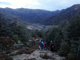
Heading down towards Waipakihi Hut
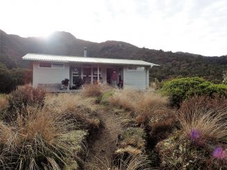
Waipakihi Hut in the morning
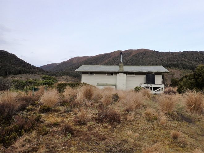
Back (east facing) view of Waipakihi Hut
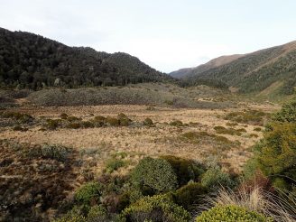
Looking out westward down Waipakihi Valley from the Hut
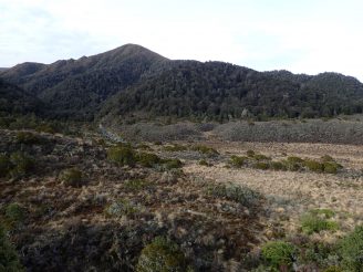
View of Waipakihi Valley from the Hut
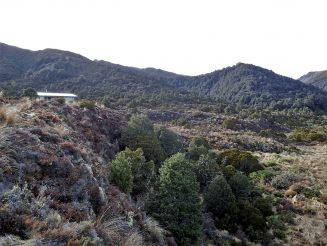
Looking back at Waipakihi Hut
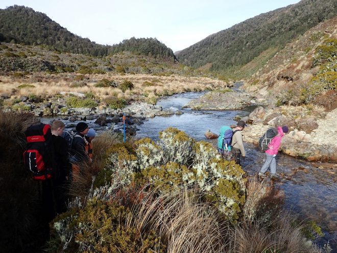
Crossing mouth of Waipakihi River tributary
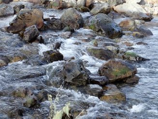
Waipakihi River Rapids
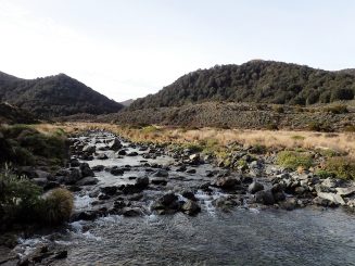
Looking upstream of Waipakihi River and Valley
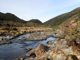
Looking down stream of Waipakihi River and Valley
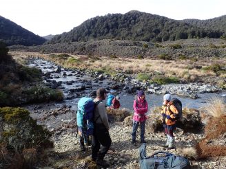
Short stop to fill water bottles
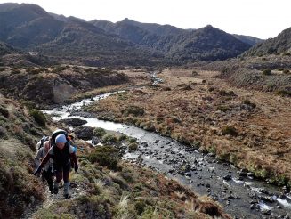
Looking back at Waipakihi River while climbing back up Umukarikari Track
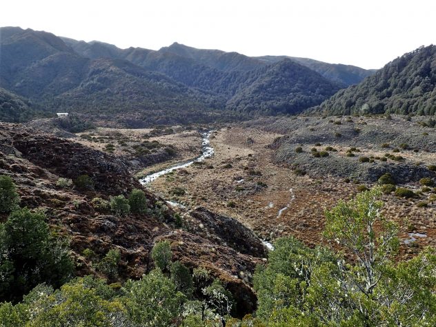
Looking back at Waipakihi River while climbing back up Umukarikari Track
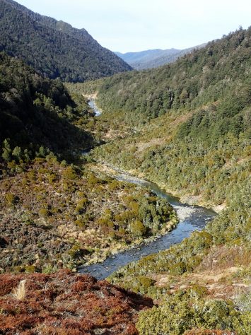
Looking back at Waipakihi River while climbing back up Umukarikari Track
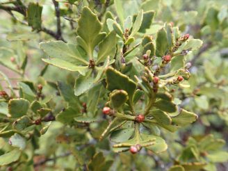
Plant Life
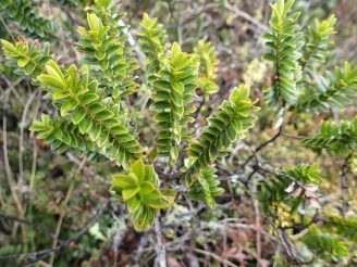
Plant Life
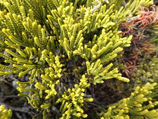
Plant Life
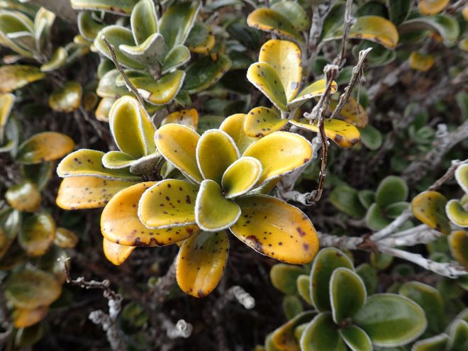
Plant Life
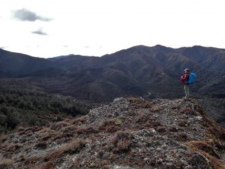
Looking out over Waipakarikari Valley from Umukarikari Track
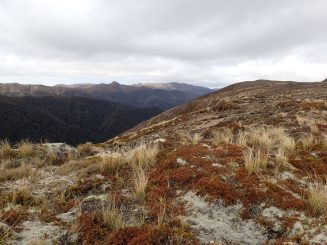
Another Look out towards Waipakihi Valley
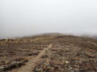
Umukarikari Track rapidly clouding over
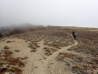
Umukarikari Track rapidly clouding over
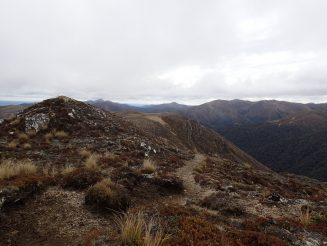
Umukarikari Track
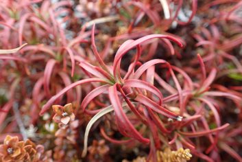
Plant Life
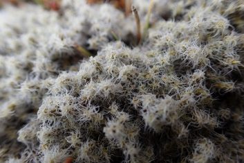
Plant Life
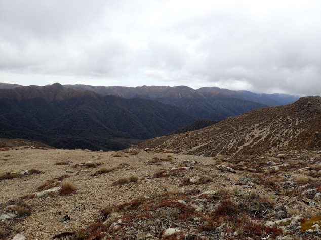
Walking westward along Umukarikari Track
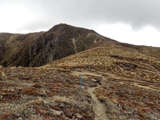
Walking westward along Umukarikari Track
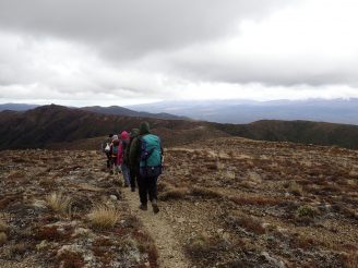
Walking westward along Umukarikari Track
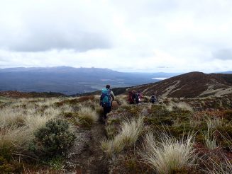
Walking westward along Umukarikari Track
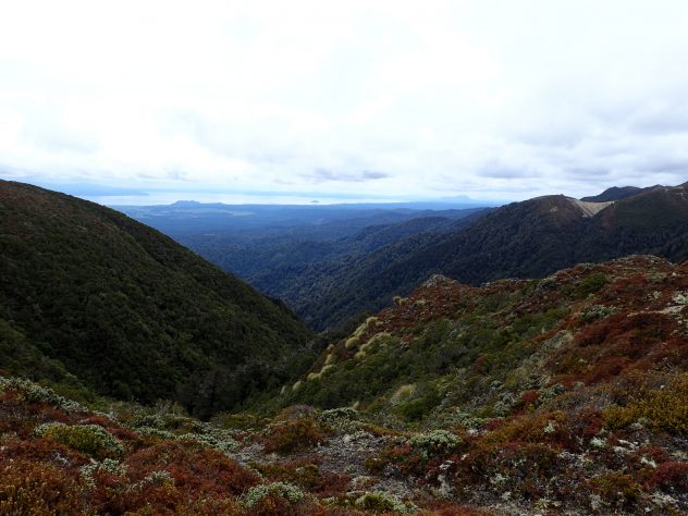
View out to Lake Taupo from Umukarikari Track
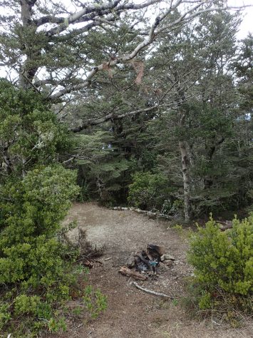
Fire place remnants, just below the bush line
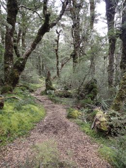
Umukarikari Track, typical scene
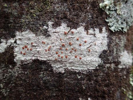
OLYMPUS DIGITAL CAMERA
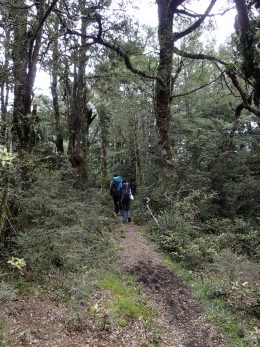
Descending down Umukarikari Track under the bush line
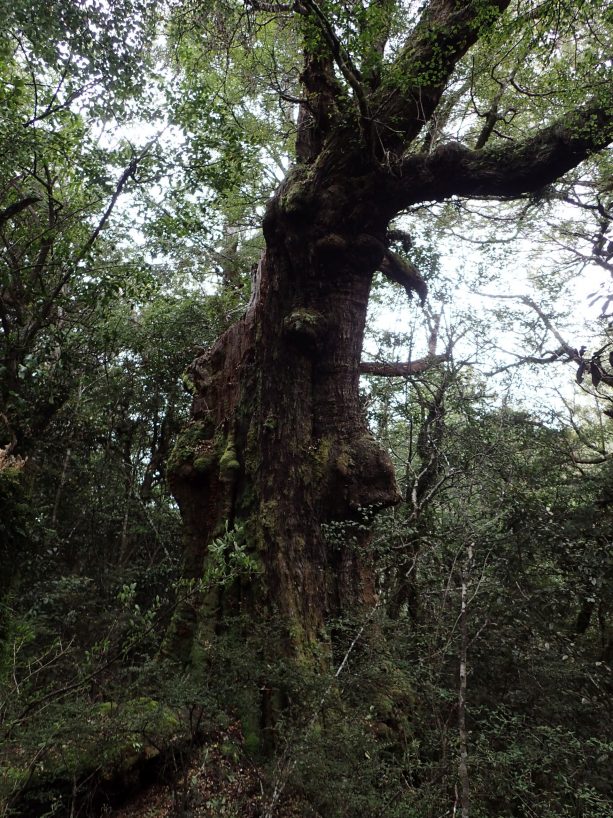
Knobbly Tree
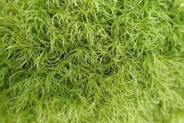
Umukarikari Track Mossy Growth close up
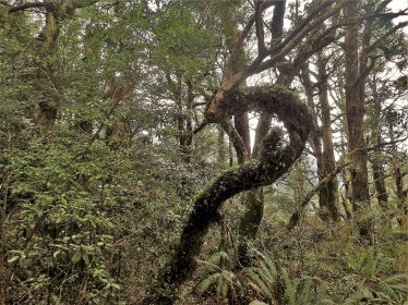
“Celestial Dragon”
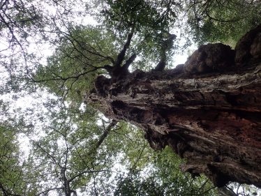
Knobbly Tree
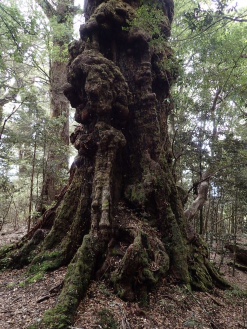
Knobbly Tree
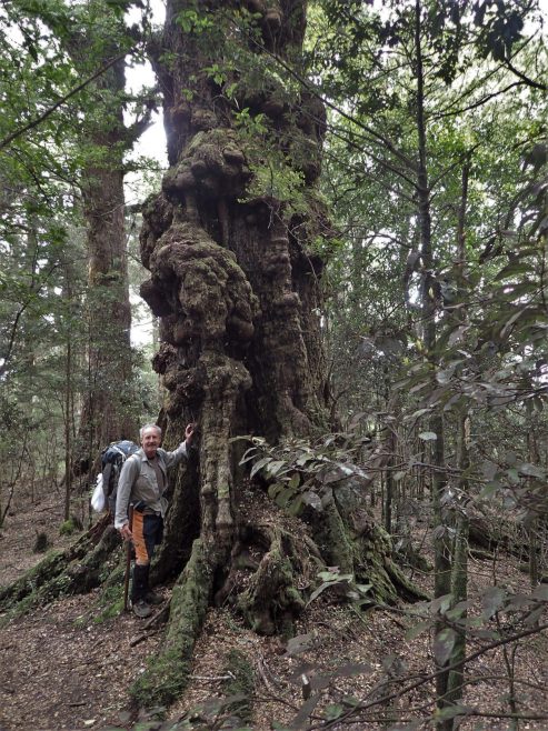
Knobbly Tree with Trevor standing beside it (for size perspective)
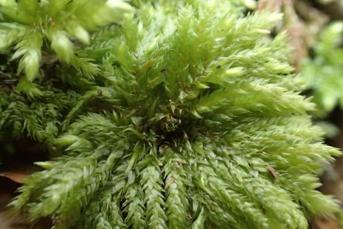
Umukarikari Track Mossy Growth close up
Tree Fungus
Break in the bush with view towards Lake Taupo
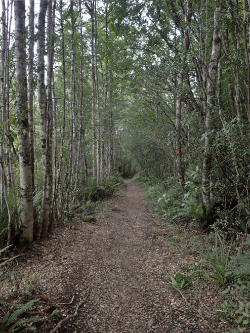
Near the end of Umukarikari Track
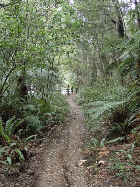
The end in sight – Umukarikari Track
Assorted Trip Notes
Weather conditions in the area can change on a dime. They certainly did on Umukarikari Track on the Labour day Monday that we were heading out. Weather conditions went from Fine and Clear as we were walking up the steep section of Umukarikari track (after the hut), then changed rapidly in a matter of minutes to cloud on the trail (threatening to unleash showers on us) as we approached Mount Umukarikari, shortly after the Junction with the un-named track where we settled down to have lunch, the cloud very rapidly lifted and cleared up.
The un-named track after Mount Urchin between the Steep down track towards Waipakihi Valley and the Umukarikari Track is tough going. At the time we did it, it was rather over grown in places and had short but very steep undulations (albeit by about 10-15 meters so doesn’t show up as contour lines on the LINZ Topo50 maps) which made this section of track rather challenging and tiring.
Area is pretty popular with Hunters. Would hazard a guess that about 1/3 of the people we met on the track were there for hunting. There were a few hunters on Waipakihi hut who had helicoptered in however, due to unfavourable hunting conditions, they had requested a member of our party to call Helisika (The Taupo based one) once we got Telephone reception, to come collect them next day rather than their originally planned Saturday Departure.


